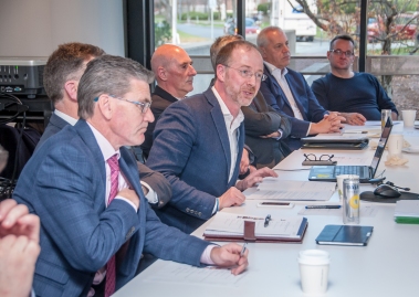
Gareth Doherty, Assistant Professor at Harvard University’s Graduate School of Design, talking to delegates from the North West Regional Development Group during their visit to Boston in November last year.
“We need to imagine the future, because if we don’t, we have no way of shaping it”. In an 18-month research project centring on the Letterkenny/Derry North West City Region, Gareth Doherty, Assistant Professor at Harvard University’s Graduate School of Design, will investigate how this cross-border landscape will be shaped by the economic, political and social realities of Brexit.
“Atlas for a City Region” has been commissioned by Donegal County Council and Derry City and Strabane District Council and under the auspices of the North West Regional Development Group. Doherty, a native of Carndonagh, will lead two groups of students from Harvard GSD on a tour of the region in March. “The students will engage in everyday life and I will encourage them to walk as much as possible, to experience the landscape and to meet people.”
The project which is being supported by Letterkenny Institute of Technology, ICLRD and Ulster University, will examine how the region will evolve over time, taking into account both the short-term impact of Brexit as well as having a longer term perspective.
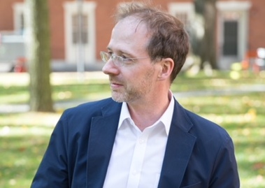
Gareth Doherty, Assistant Professor at Harvard University’s Graduate School of Design.
“Atlas for a City Region” will also ask how the region may continue to build a character for itself within Northern Ireland, Ireland, the UK and Europe. "What are the distinctive landscape features of the region, and what new features can be imagined?"
“The project is about challenging forms of knowledge and bringing landscape perspectives to the North West over time, which includes the fieldwork among communities and also builds upon the students' own imaginations.”
“Atlas for a City Region” will design at a range of scales from small urban spaces to the design of the region itself. One aim of the project is to demonstrate how landscape architecture can be instrumental in shaping not just the physical landscape but the new political landscape, too.
Select an option below